Before the Highway Existed, Driving Across America Was a Survival Exercise
Before the Highway Existed, Driving Across America Was a Survival Exercise
Picture this: you've packed your Model T, you've got a hand-drawn map that may or may not reflect actual road conditions, and you're about to spend the next three to six weeks — if everything goes reasonably well — trying to reach the other side of the country. No motels. No rest stops. No GPS politely recalculating your route. Just you, a dirt track that turns to soup when it rains, and the genuine possibility that your car will simply stop working somewhere in the middle of Nevada.
That was the American road trip in the 1920s. And it was nothing like what we picture today.
The Road That Wasn't Really a Road
When the Lincoln Highway — America's first coast-to-coast automobile route — was established in 1913, it was celebrated as a marvel of modern ambition. Stretching roughly 3,400 miles from Times Square in New York City to Lincoln Park in San Francisco, it represented the country's first real attempt to connect its two coasts by car.
The catch? Most of it wasn't paved.
Large stretches through Iowa, Nebraska, Wyoming, and Utah were little more than rutted dirt paths. In dry weather, drivers choked on dust clouds. After rain, those same roads became axle-deep mud traps that could swallow a vehicle whole. Travelers regularly spent hours — sometimes entire days — digging their cars out of the mire, waiting for local farmers with horses to haul them free, or simply camping in place until the ground hardened again.
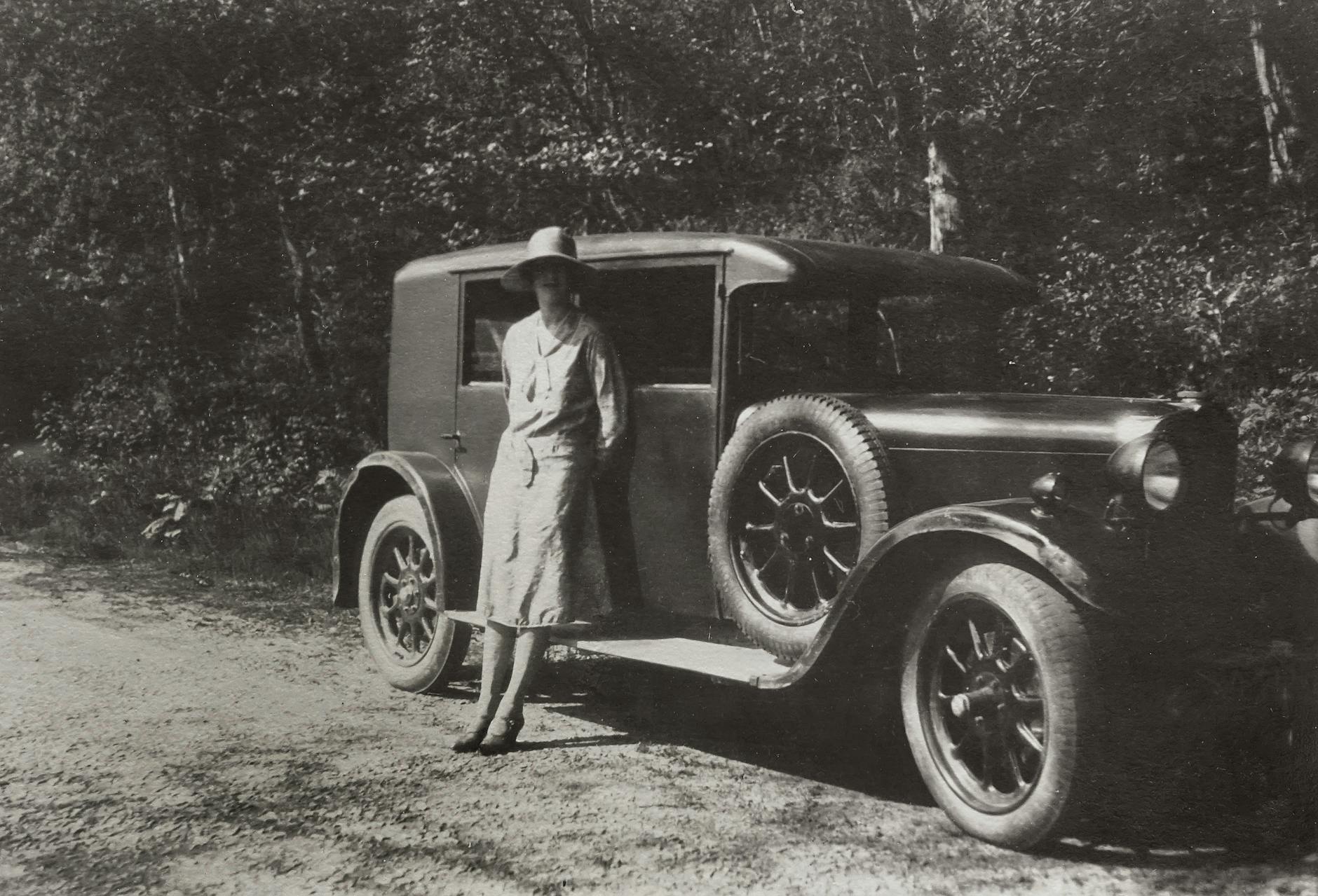
Emily Post, the etiquette authority, drove the Lincoln Highway in 1915 and documented the experience in her book By Motor to the Golden Gate. She described roads that "looked like roads" on maps but turned out to be little more than cattle tracks. She got stuck. She broke down. She improvised constantly. And she was considered one of the more prepared travelers of her era.
What "Average Speed" Actually Meant
On a modern interstate, a driver maintaining 75 mph can cover the roughly 2,800 miles between New York and Los Angeles in around 40 hours of driving — a long weekend if you push it, or a leisurely five days if you don't.
In 1920, the same journey typically took between 30 and 45 days.
That's not because early cars were dramatically slower on open road — a Model T could manage 40 to 45 mph on a good surface. The problem was that good surfaces barely existed. Factoring in mud delays, mechanical repairs, wrong turns caused by inconsistent signage, and the daily reality that tires of that era could blow out multiple times in a single afternoon, average daily progress often worked out to somewhere between 75 and 150 miles. On a bad day, far less.
Tire changes weren't a minor inconvenience. They were a near-daily ritual. Early pneumatic tires were fragile, and the unpaved roads that dominated most of the route were punishing. Experienced cross-country drivers of the 1920s routinely carried four or five spare tires as standard equipment.
Where Did You Actually Sleep?
The motel, as Americans now know it, didn't really exist in the early road trip era. The word itself wasn't coined until 1925, and even then, the network of roadside accommodation was sparse and uneven for years afterward.
Early transcontinental drivers had a few options: expensive city hotels in larger towns, private homes that rented rooms to travelers, or camping by the side of the road. Many chose camping by default — not out of a love of the outdoors, but simply because there was nothing else available for miles in any direction.
By the late 1920s, "auto camps" had begun appearing along popular routes. These were essentially communal roadside camping areas, sometimes with a shared water pump and outhouse, occasionally with wooden cabin rentals. They were a step up from sleeping in a field, but not by much.
Finding food was its own challenge. Restaurants were clustered in towns, and towns could be 50 or 60 miles apart on some stretches of the route. Most serious travelers packed substantial food supplies and cooked over campfires. Running out of provisions in a remote section of Wyoming or the Utah desert wasn't a minor inconvenience — it was a genuine problem.
The Map Was More of a Suggestion
Navigation in the pre-GPS, pre-interstate era required a combination of paper maps, local knowledge, and stubborn optimism. The maps themselves ranged in quality from reasonably accurate to dangerously wrong. Road conditions shown on a map reflected what the road had been at some earlier point — not necessarily what it was right now, this season, after the spring floods.
The American Automobile Association began posting roadside signs along key routes in the early 1900s, which helped. But signage remained inconsistent and sometimes contradictory for decades. Travelers frequently stopped to ask locals for directions, and locals didn't always agree with each other.
One common strategy was to follow other tire tracks in the dirt and hope whoever made them knew where they were going.
What Changed Everything
The Federal Aid Highway Act of 1956, signed by President Eisenhower, launched the Interstate Highway System and fundamentally transformed what it meant to drive across America. By the 1970s, a genuine coast-to-coast network of high-speed, well-maintained roads had replaced the patchwork of dirt tracks, state routes, and improvised paths that earlier travelers had navigated.
Motels had proliferated. Gas stations were everywhere. Standardized signage made navigation reliable. Cars had become dramatically more dependable.
The journey that once consumed a month of a traveler's life — demanding physical resilience, mechanical skill, and a willingness to sleep in a field — became something a family could complete over a long weekend.
The Distance Didn't Shrink. Everything Else Did.
The miles between New York and Los Angeles haven't changed. What changed was everything layered on top of them — the infrastructure, the vehicles, the services, the knowledge baked into every mile of asphalt.
When you merge onto I-80 heading west and the navigation app tells you you'll arrive in 38 hours, it's easy to take that seamlessness for granted. But a century ago, the same trip was a genuine expedition. People prepared for weeks, said long goodbyes, and understood they might not make it without serious trouble along the way.
The American road trip didn't just get faster. It became a completely different thing.